Climate / Environment / Geospatial
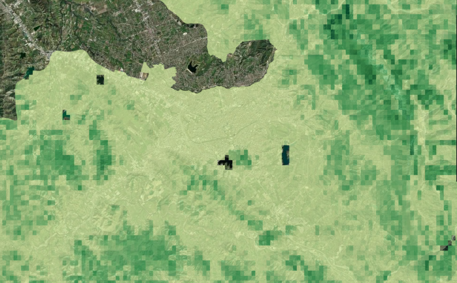
Aboveground Carbon Density
Aboveground Biomass Carbon Density refers to the amount of carbon stored in the vegetation and woody components of forests or other terrestrial ecosystems. It is an important measure of carbon sequestration and plays a significant role in understanding the global carbon cycle and climate change. To estimate a combination of remote sensing data, field measurements, and modeling techniques are used. Field measurements are collected from various forest sites to validate and calibrate remote sensing data. These measurements include tree diameter, height, and biomass samples, which are then used to develop models that relate remote sensing data to aboveground biomass and carbon density. This data is valuable for a range of applications, including carbon accounting, forest management, and climate change research. It helps scientists and policymakers monitor changes in carbon stocks over time, assess the effectiveness of forest conservation efforts, and understand the role of forests in mitigating climate change.
Metadata
Number
25
Availability
Available Now
Source
NASA ORNL DAAC at Oak Ridge National Laboratory
Original Source
NASA
Resolution
300m
Cadence
Solo
Delivery Time
Hours
Price
€100
Coverage
Global
Data Range
1/1/2010 - 1/1/2010
Commercial Use
Permitted - https://science.nasa.gov/earth-science/earth-science-data/data-information-policy
Sample Asset
/dataset-samples/aboveground-carbon-density.png
Created
6/14/2023 10:08
GIZ
Aboveground Carbon Density
EECU Seconds
7
Graph Data
No graph data listed.
Research
https://www.nature.com/articles/s41597-020-0444-4
Local Sample
image.png