Climate / Environment / Geospatial
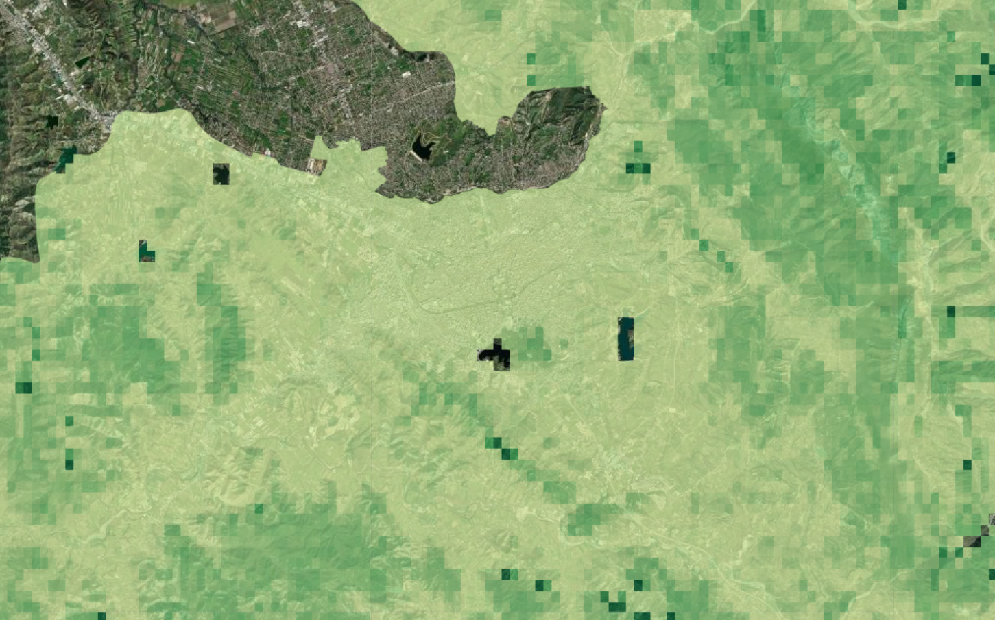
Belowground Carbon Density
Belowground Biomass Carbon Density (BBCD) refers to the plant material found beneath the soil surface, including roots and rhizomes, which store a significant amount of carbon. The approach in estimating BBCD is through the integration of field-based measurements and modeling techniques. Field data from various sites is collected involving excavation and sampling of soil and root systems. These samples are then analyzed to determine the carbon content and other relevant properties. These ground-based measurements serve as a reference for developing models that can estimate BBCD based on remotely sensed data. Remote sensing data provides valuable contextual information related to soil properties, such as soil moisture and texture, which indirectly influence belowground biomass and carbon density. These data is incorporated into models that estimate BBCD, helping to refine the accuracy of predictions.
Metadata
Number
26
Availability
Available Now
Source
NASA ORNL DAAC at Oak Ridge National Laboratory
Original Source
NASA
Resolution
300m
Cadence
Solo
Delivery Time
Hours
Price
€100
Coverage
Global
Data Range
1/1/2010 - 1/1/2010
Commercial Use
Permitted - https://science.nasa.gov/earth-science/earth-science-data/data-information-policy
Sample Asset
/dataset-samples/belowground-carbon-density.png
Created
6/14/2023 10:08
GIZ
Belowground Carbon Density
EECU Seconds
17
Graph Data
No graph data listed.
Research
https://www.nature.com/articles/s41597-020-0444-4
Local Sample
image.png