Geospatial / Environment / Infrastructure / Demography
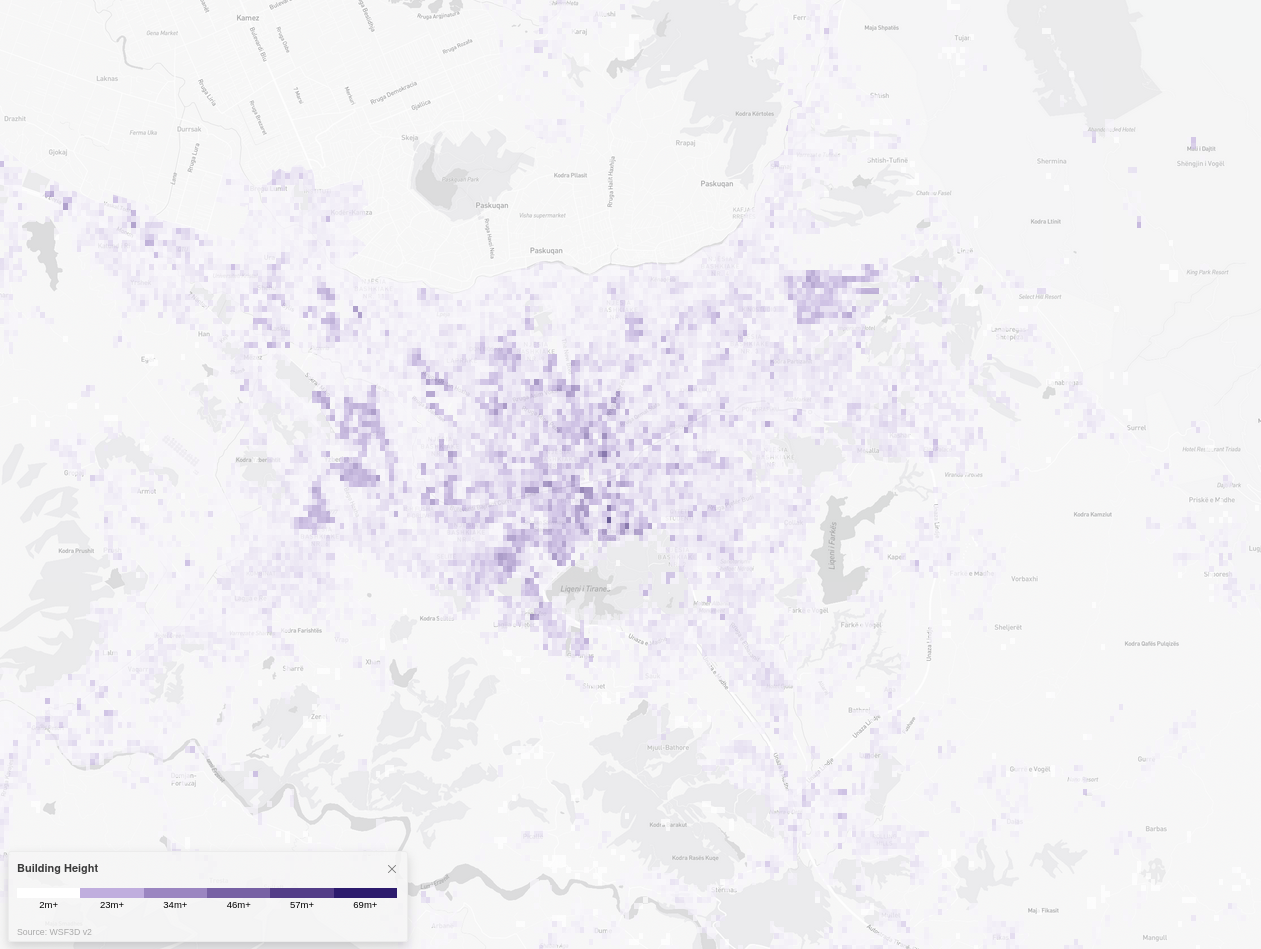
Building Height
The Building Height data-set is mapped to settlements worldwide, which are defined as continuous areas of built-up structures. The data is generated through remote sensing, which involves using satellite imagery to collect information about the Earth's surface and is based on optical satellite imagery, which is processed using advanced image analysis techniques to extract information about building height.
Metadata
Number
14
Availability
Available Now
Source
German Aerospace Center (DLR)
Original Source
ESA, WSF-IMP, TerraSAR-X and TanDEM-X
Resolution
90m
Cadence
Solo
Delivery Time
Hours
Price
€100
Coverage
Global
Data Range
1/1/2012 - 1/1/2012
Commercial Use
Permitted - https://download.geoservice.dlr.de/WSF3D/files/READMEs/README_BuildingHeight.txt
Sample Asset
/dataset-samples/building-height.png
Created
2/18/2023 22:55
GIZ
Building Height
EECU Seconds
3
Graph Data
Average citywide building height.
Compared neighborhood by neighborhood
Compared neighborhood to city
Research
https://www.sciencedirect.com/science/article/pii/S0034425721005976
Local Sample
Building Height.png