Climate / Environment / Geospatial / LU/LC / Ecosystems
Built Up 2030 Projection
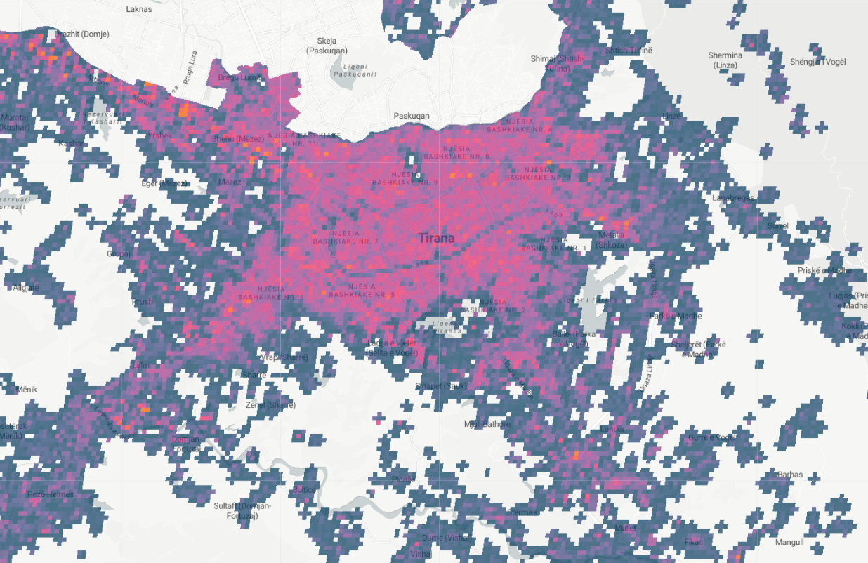
Satellite-derived Land Use / Land Cover estimation of built-up land in 2030 is a forecast or estimate of the extent of urbanization in a given area at a future point in time. This type of projection is often created using geographic information systems (GIS) technology, and is based on data about the current distribution and growth of urban areas, as well as on assumptions about future population growth, economic development, and other factors that may affect urbanization. Built-up land projections can provide valuable information for a variety of purposes, such as for supporting the planning and management of land resources, for studying the potential impacts of urbanization on the environment and local communities, or for understanding the dynamics of urban growth.
Metadata
Number
10
Availability
Available Now
Source
Copernicus Derived - Global Human Settlement Layer
Original Source
European Space Agency
Resolution
38m
Cadence
Solo
Delivery Time
Hours
Price
€100
Coverage
Global
Data Range
1/1/1975 - 1/1/2030
Commercial Use
Permitted - https://developers.google.com/earth-engine/datasets/catalog/JRC_GHSL_P2016_BUILT_LDSMT_GLOBE_V1 - The GHSL has been produced by the EC JRC as open and free data. Reuse is authorised, provided the source is acknowledged. For more information, please read the use conditions (European Commission Reuse and Copyright Notice).
Sample Asset
/dataset-samples/built-up-2030-projection.png
Created
11/2/2022 23:02
GIZ
Built Up 2030 Projection
EECU Seconds
13
Graph Data
No graph data listed.
Research
No research note listed.
Local Sample
GHSL Built up 2030 Projection MED.png