Environment / Geospatial / Computed
Compound Topography
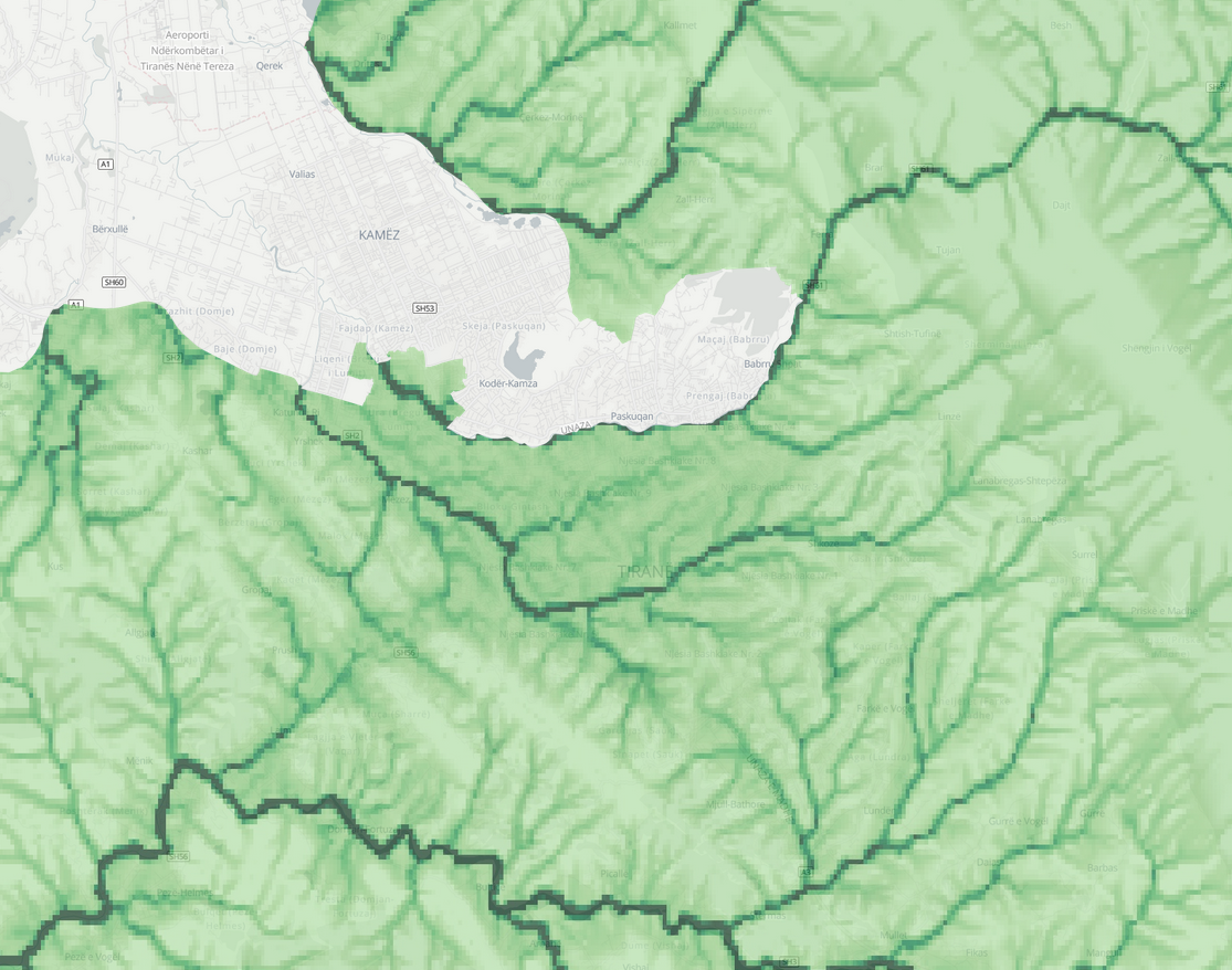
Geospatially derived compound topography is a term that refers to the combination of different types of topographic information, such as elevation, slope, and aspect, that are derived from digital elevation data. This information is often used to understand the physical characteristics of a landscape and the ways in which these characteristics can influence the distribution and behavior of plants, animals, and other organisms. It involves creating a grid of cells from the digital elevation data and then calculating various topographic features for each cell, such as slope, aspect, and elevation. These features are then combined in various ways to create a composite topographic map that provides a detailed and comprehensive picture of the landscape. Compound topography is often used in ecological and environmental studies to understand the impacts of topography on the distribution and movement of organisms, as well as to identify areas that may be vulnerable to erosion, landslides, or other natural hazards. It can also be used in land use planning and resource management to identify areas with specific topographic features that may be suitable for certain types of development or land use.
Metadata
Number
38
Availability
Available Now
Source
Multi-Error-Removed Improved Terrain (MERIT) DEM 3 arc-seconds (~90 m)
Original Source
National Aeronautics and Space Administration (NASA) SRTM3 version 2.1, the Japan Aerospace Exploration Agency (JAXA) AW3D global high resolution 3D map (version 1) and the Viewfinder Panorama’s DEM
Resolution
90m
Cadence
Solo
Delivery Time
Hours
Price
€100
Coverage
Global
Data Range
2/11/2000 - 2/22/2000
Commercial Use
Permitted - https://gee-community-catalog.org/projects/geomorpho90/
Sample Asset
/dataset-samples/compound-topography.png
Created
12/27/2022 15:10
GIZ
Compound Topography
EECU Seconds
11
Graph Data
No graph data listed.
Research
https://www.nature.com/articles/s41597-020-0479-6
Local Sample
Screenshot from 2022-12-27 15-19-23.png