Climate / Environment / Geospatial / LU/LC / Ecosystems
Cropland
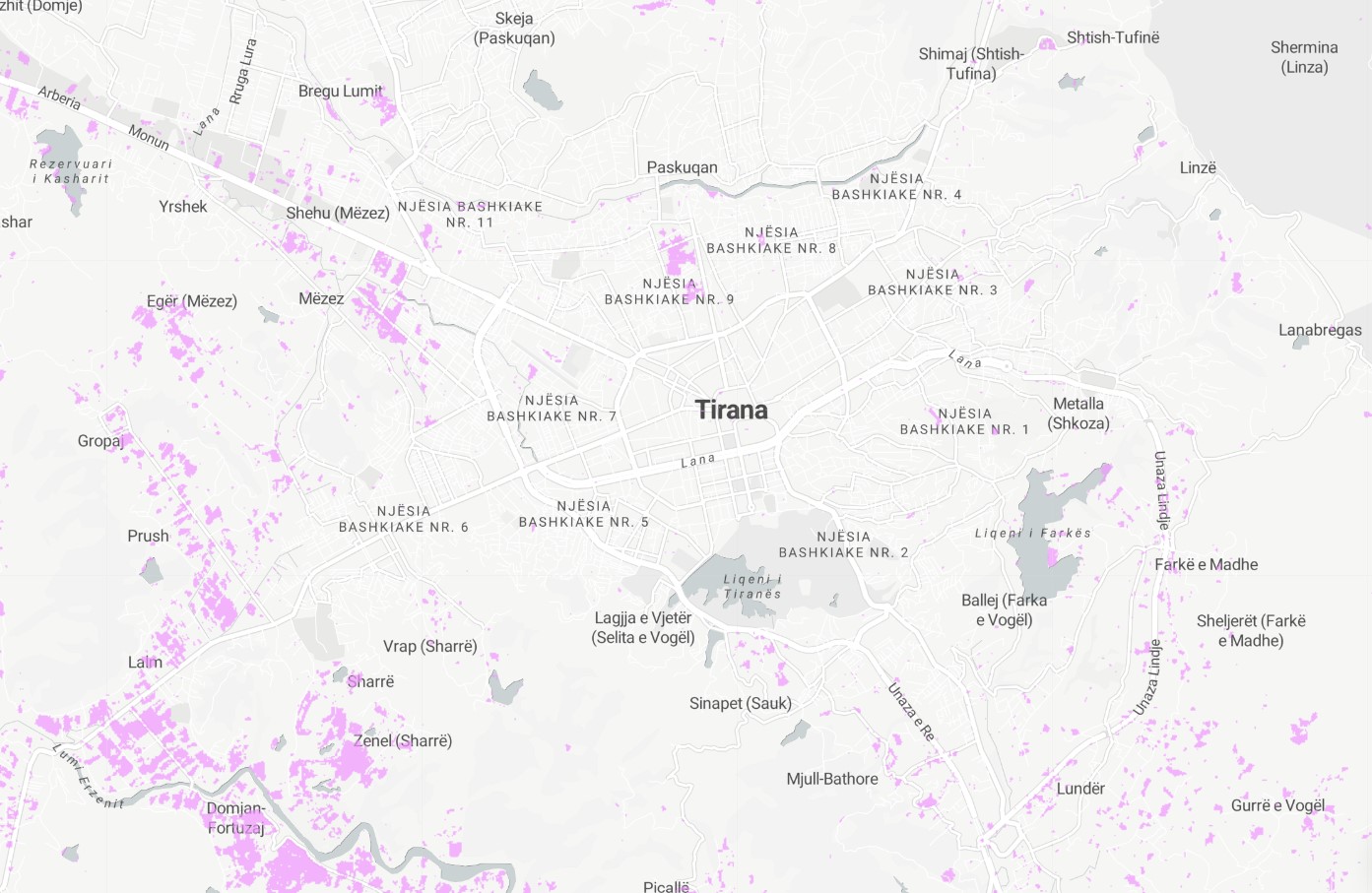
Satellite-derived Land Use / Land Cover computation of cropland in 2020. Geospatially derived cropland cover refers to information about areas of land that are used for growing crops, such as fields of wheat, corn, or other crops. This information is obtained using geographic information systems (GIS) technology, which allows for the creation of detailed maps and spatial datasets that can provide information about the location, extent, and characteristics of cropland. These datasets are often used by researchers, governments, and organizations to monitor and manage agricultural production and land use, and to understand the impacts of changes in cropland on the environment and local communities.
Metadata
Number
16
Availability
Available Now
Source
ESA WorldCover 10m v100
Original Source
European Space Agency
Resolution
10m
Cadence
Solo
Delivery Time
Hours
Price
€100
Coverage
Global
Data Range
1/1/2020 - 1/1/2021
Commercial Use
Not specified
Sample Asset
/dataset-samples/cropland.jpg
Created
7/30/2022 13:21
GIZ
Cropland
EECU Seconds
22
Graph Data
Temporal change of LU/LC in city over decade.
Temporal change of LU/LC in AOI over decade. One graph to rule them all.
Current specific LU/LC / composition in city area.
Current specific LU/LC / composition in AOI.
Research
No research note listed.
Local Sample
Cropland.jpg