Environment / Geospatial / Computed
Digital Elevation Model
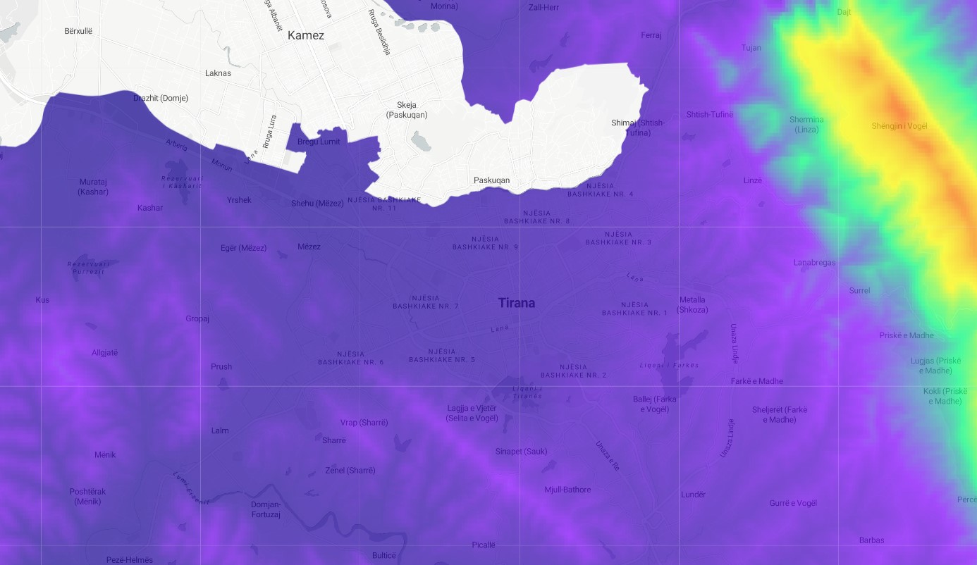
Satellite-derived Digital Elevation Model. A geospatially derived digital elevation model (DEM) is a type of spatial dataset that represents the three-dimensional relief of a terrain. DEMs are typically created using geographic information systems (GIS) technology, and are based on elevation data obtained from various sources, such as satellite imagery. These datasets can be used to create detailed maps and visualizations of the land surface, and can provide valuable information for a wide range of purposes, such as for analyzing the topography of an area, for understanding the distribution of natural or man-made features on the landscape, or for supporting the planning and management of land resources.
Metadata
Number
35
Availability
Available Now
Source
SRTM Derived - CGIAR - CSI
Original Source
NASA / CGIAR
Resolution
90m
Cadence
Solo
Delivery Time
Hours
Price
€100
Coverage
Global
Data Range
2/11/2000 - 2/22/2000
Commercial Use
With Written Permission - https://srtm.csi.cgiar.org/disclaimer/
Sample Asset
/dataset-samples/digital-elevation-model.jpg
Created
7/30/2022 15:54
GIZ
Digital Elevation Model
EECU Seconds
26
Graph Data
Cross-cutting graph of elevation. a. draw your own line, even a polyline and get an elevation profile graph.
Click and tell m
Research
No research note listed.
Local Sample
DEM.jpg