Climate / Environment / Geospatial
Forest Canopy Height
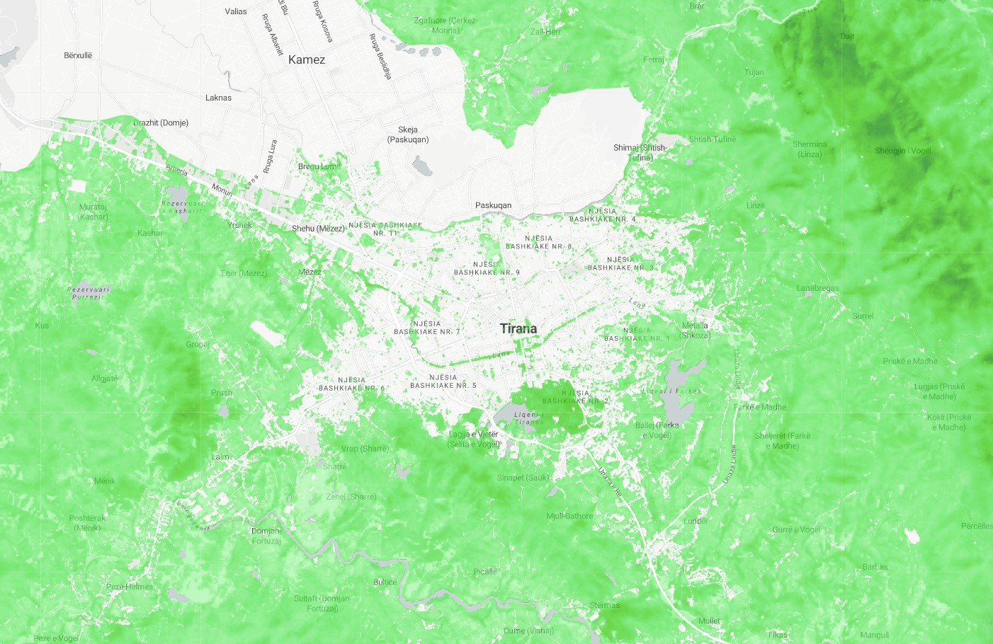
Satellite derived remote sensed tree canopy height computation illustrating estimated canopy height at 10m resolution in 2020. Geospatially derived forest canopy height is a measure of the average height of the trees in a forested area, as determined using geographic information systems (GIS) technology. This information can be obtained from various sources, such as satellite data. Forest canopy height is an important indicator of the health and productivity of a forest, and can provide valuable information for monitoring and managing forest resources.
Metadata
Number
2
Availability
Available Now
Source
Sentinel-2 Derived - Lang, N., Jetz, W., Schindler, K., & Wegner, J. D. (2022). A high-resolution canopy height model of the Earth. arXiv preprint arXiv:2204.08322"
Original Source
European Space Agency
Resolution
10m
Cadence
Solo
Delivery Time
Hours
Price
€100
Coverage
Global
Data Range
5/1/2020 - 11/1/2020
Commercial Use
Not specified
Sample Asset
/dataset-samples/forest-canopy-height.jpg
Created
7/30/2022 13:13
GIZ
Forest Canopy Height
EECU Seconds
6
Graph Data
Citywide cumulative forest cover in m2 / hectares.
% of city covered in forest
% average canopy height of city
% of AOI covered in forest
% average of canopy height in AOI compared to %avg canopy height of city.
min/max of canopy height in AOI
Research
No research note listed.
Local Sample
Forest Canopy Height.jpg