Climate / Environment / Geospatial
Forest Cover
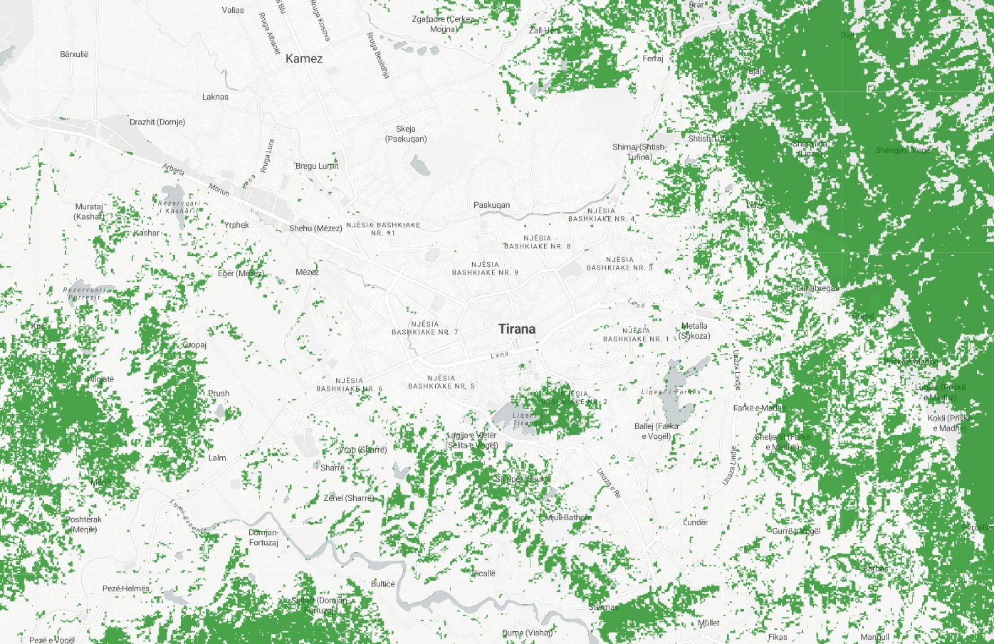
Satellite derived remote sensed tree cover illustrating tree coverage at 10m resolution in 2020. Geospatially derived forest cover is a measure of forested area, as determined using geographic information systems (GIS) technology. This information can be obtained from various sources, such as satellite data.
Metadata
Number
1
Availability
Available Now
Source
Landsat
Original Source
NASA / USGS
Resolution
30.92m
Cadence
Solo
Delivery Time
Hours
Price
€100
Coverage
Global
Data Range
1/1/2000 - 1/1/2000
Commercial Use
Not specified
Sample Asset
/dataset-samples/forest-cover.jpg
Created
7/30/2022 13:13
GIZ
Forest Cover
EECU Seconds
4
Graph Data
Citywide cumulative forest cover in m2 / hectares.
% of city covered in forest
% of AOI covered in forest
Research
No research note listed.
Local Sample
Forest Cover.jpg