Climate / Environment / Geospatial
Forest Gain
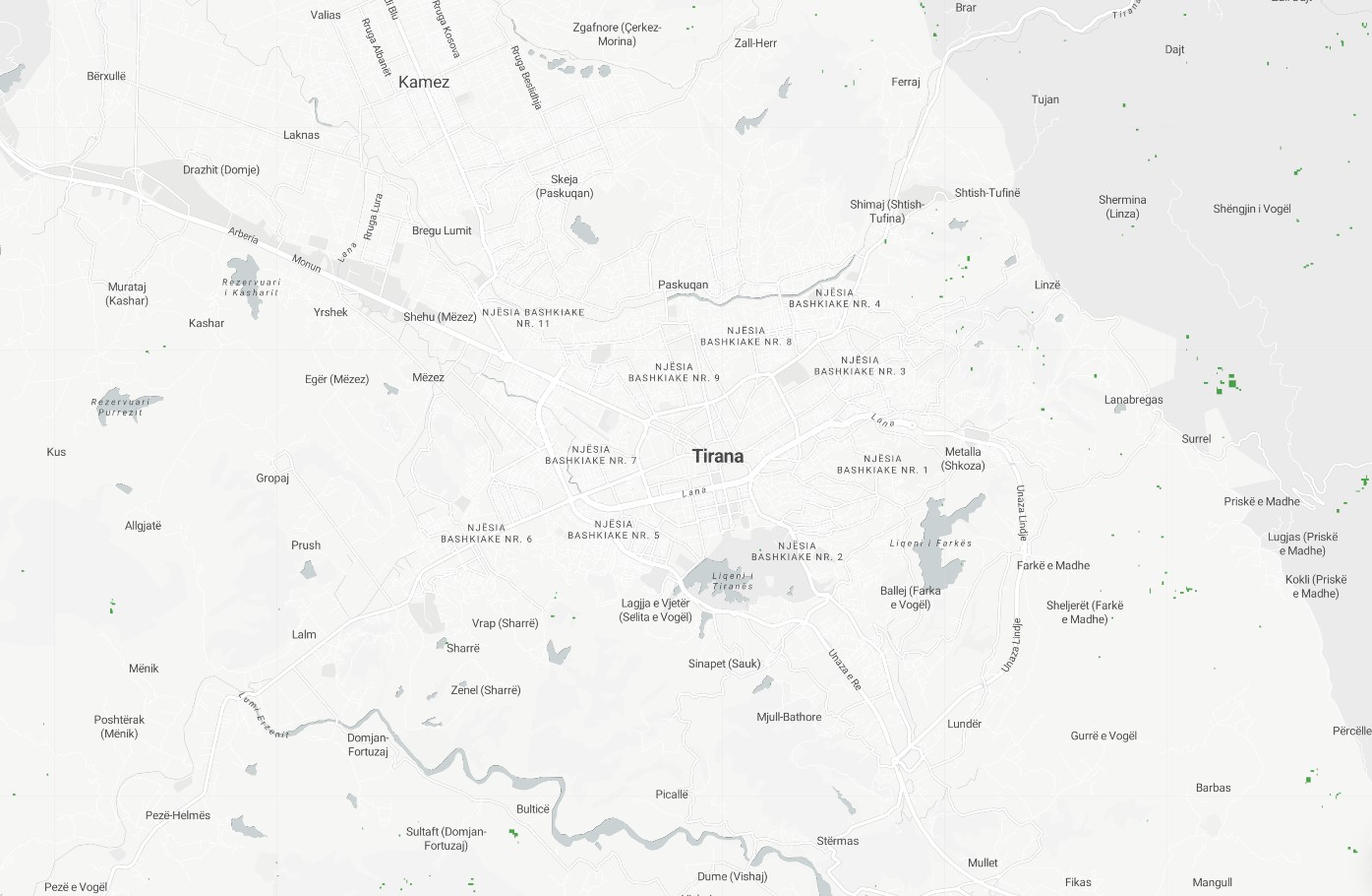
Computation of Forest Cover Gain: this layer visualizes satellite-derived increase in forest cover in the year 2012 compared to forest cover in the year 2000. Geospatially derived forest gain is the process of using geographic information systems (GIS) technology to identify and measure increases in forest cover over time. This can be done by comparing different sets of spatial data, such as satellite imagery or aerial photographs, to identify changes in the extent of forested areas. Geospatially derived forest gain can provide important information about the success of reforestation efforts, and can be used to support efforts to conserve and manage forests more effectively.
Metadata
Number
4
Availability
Available Now
Source
Landsat Derived - Hansen Global Forest Change
Original Source
NASA / USGS
Resolution
30.92m
Cadence
Solo
Delivery Time
Hours
Price
€100
Coverage
Global
Data Range
1/1/2000 - 1/1/2012
Commercial Use
Not specified
Sample Asset
/dataset-samples/forest-gain.jpg
Created
7/30/2022 13:16
GIZ
Forest Gain
EECU Seconds
4
Graph Data
Citywide cumulative forest gain per year in m2/hectares.
% of total forest gain over total area per year as well as cumulative gain for latest year.
% of forestgain in AOI
Research
No research note listed.
Local Sample
Forest Gain.jpg