Climate / Environment / Geospatial
Land Surface Temperature
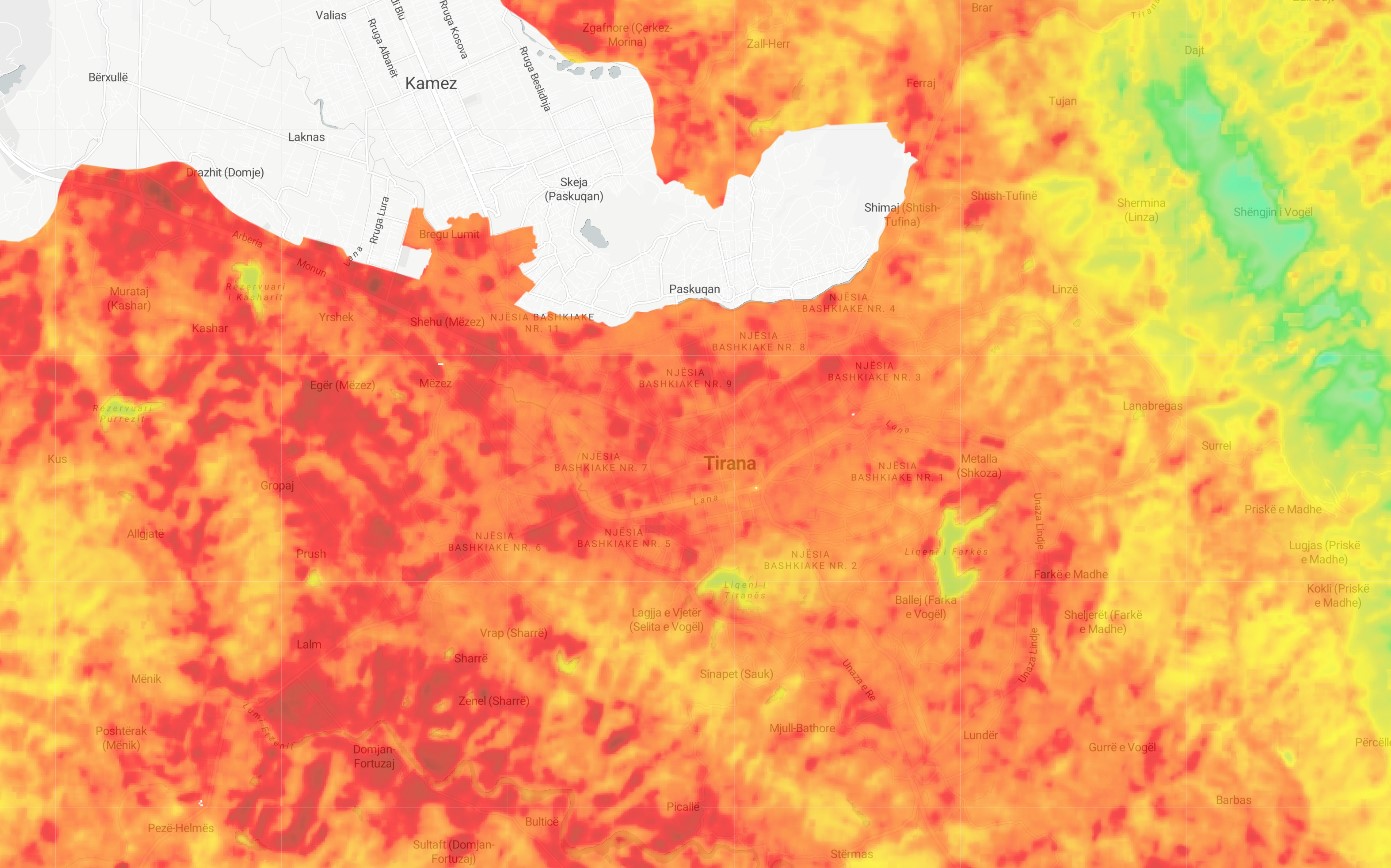
Satellite-derived weekly average land surface temperature as computed from Landsat (30m resolution) and MODIS (1Km resolution). Geospatially derived land surface temperature is a measure of the temperature of the Earth's surface at a particular location, as determined using geographic information systems (GIS) technology. This information is typically obtained from satellite-based sensors, which can detect the thermal radiation emitted by the land surface. Land surface temperature is an important indicator of the health and productivity of an ecosystem, and can provide valuable information for monitoring and managing land resources. It is also an important variable in climate modeling and can help to improve our understanding of the Earth's climate system.
Metadata
Number
5
Availability
Available Now
Source
USGS Landsat 8 Level 2, Collection 2, Tier 1
Original Source
NASA / USGS
Resolution
30m
Cadence
Weekly
Delivery Time
Hours
Price
€100
Coverage
Global
Data Range
3/18/2013 - 7/30/2022
Commercial Use
Not specified
Sample Asset
/dataset-samples/land-surface-temperature.jpg
Created
7/30/2022 13:21
GIZ
Land Surface Temperature
EECU Seconds
178
Graph Data
Cross-cutting graph of city LST at a certain date.
Cross-cutting graph of AOI LST at a certain date.
Average monthly temperature for last 10 years in AOI.
Walking distance to lowest AOI in summer months average.
Average AOI temperature compared to Average citywide temperature per month (each month average of all data available for that month)
https://twitter.com/spatialthoughts/status/1541707356752728064?t=k19weRKklJ5TXS_dlmLUkg&s=19
Research
No research note listed.
Local Sample
Land Surface Temperature.jpg