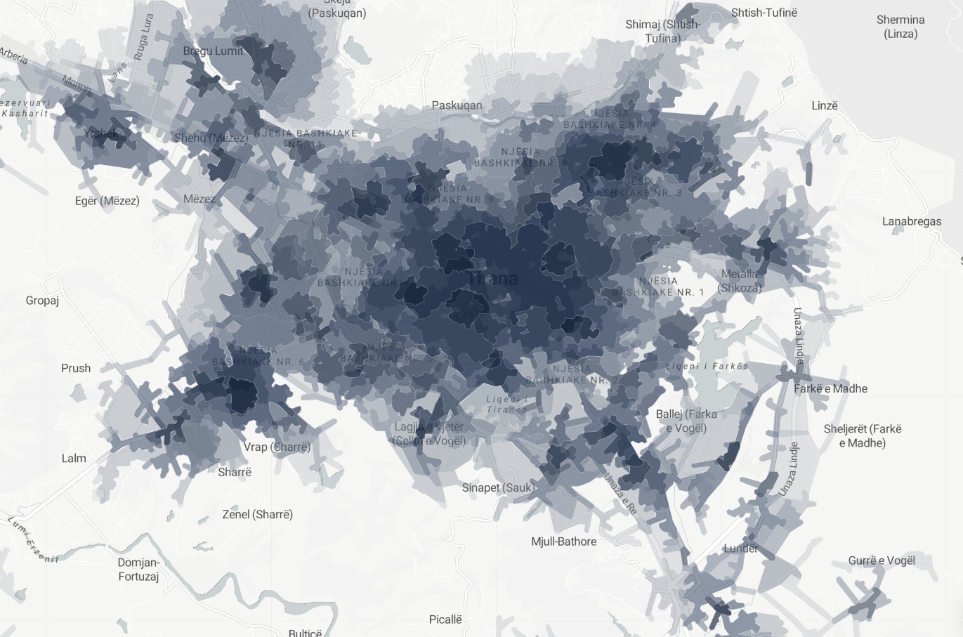
Amenities / Accessibility / Computed
Multiple Accessibility Index
Layer's Multiple Accessibility Index™ (MAI) - Our index overlays 19 indicators in providing a comprehensive view of service accessibility coverage at 10min/15min and 30min walking distance intervals. A multiple accessibility index spatial analysis is a type of spatial analysis that is used to evaluate the accessibility of different locations based on the distance or time it takes to travel between them, using multiple accessibility indices. In this analysis, multiple accessibility indices are calculated for each location, each of which represents a different aspect of accessibility, such as the availability of public transportation or the proximity to services and amenities. This type of analysis is commonly used to assess the overall accessibility of an area, and can help to identify areas that may be underserved or difficult to access in multiple ways. The results of a multiple accessibility index spatial analysis can be used to support efforts to improve access to services and amenities, and to address inequalities in the distribution of resources and opportunities within a community.
Metadata
Number
30
Availability
Available Now
Source
Layer
Original Source
Layer
Resolution
1m
Cadence
Live
Delivery Time
Days
Price
€500
Coverage
Global
Data Range
n/a
Commercial Use
Permitted - https://wiki.osmfoundation.org/wiki/Licence/Community_Guidelines/Produced_Work_-_Guideline
Sample Asset
/dataset-samples/multiple-accessibility-index.jpg
Created
7/30/2022 13:30
GIZ
Multiple Accessibility Index
EECU Seconds
-
Graph Data
Location of POI in MAI.
Graph of all amenity accessibility rank available at 10/20/30 from POI.
Research
No research note listed.
Local Sample
MAI.jpg