Infrastructure / Computed / Mobility
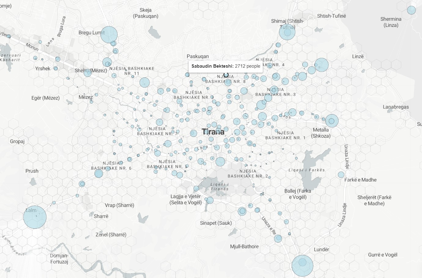
Public Transport Density Map
Crowdsourced public transportation and population density analysis. Sample provided is a combination of Worldpop population counts and crowdsourced data. A non-exhaustive list of possible amenities includes: parking, fuel stations, taxi stations, supermarkets, convenience stores, postal offices, ATMs, money transfer offices, waste disposal bins, recycling bins, urban trash bins, benches, fountains, schools, universities, kindergartens, drinking water stations, courthouses, police stations, places of worship, community centers, shelters, pharmacies, clinics, hospitals. Full list: https://wiki.openstreetmap.org/wiki/Key:amenity
Metadata
Number
33
Availability
Available Now
Source
Layer
Original Source
Layer
Resolution
1m
Cadence
Live
Delivery Time
Days
Price
€200
Coverage
Global
Data Range
n/a
Commercial Use
Permitted - https://wiki.osmfoundation.org/wiki/Licence/Community_Guidelines/Produced_Work_-_Guideline
Sample Asset
/dataset-samples/public-transport-density-map.jpg
Created
7/30/2022 13:31
GIZ
Public Transport Density Map
EECU Seconds
-
Graph Data
Population count / transit stations
Graph of all stations (or top 30 / bottom 30) ranked by population closest to them than to all other stations.
Research
No research note listed.
Local Sample
Public Transportation.jpg