Infrastructure / Energy / Climate
Solar Energy Potential
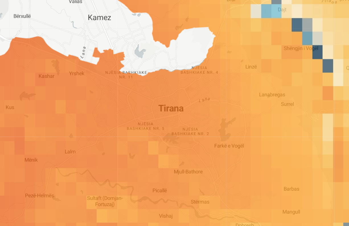
Longterm yearly average of daily totals of potential photovoltaic electricity production. A solar energy potential map is a type of spatial dataset that shows the potential for solar energy production at different locations. This map is typically created using geographic information systems (GIS) technology, and is based on data about solar radiation, cloud cover, and other factors that affect the potential for solar energy generation. Solar energy potential maps can provide valuable information for a wide range of purposes, such as for identifying locations that are suitable for solar energy development, for supporting the planning and management of renewable energy resources, or for understanding the potential for solar energy to contribute to a country's or region's energy mix.
Metadata
Number
41
Availability
Available Now
Source
Global Solar Atlas / WB / Copernicus
Original Source
ESA
Resolution
1000m
Cadence
Solo
Delivery Time
Hours
Price
€100
Coverage
Global
Data Range
1/6/2022 - 1/6/2022
Commercial Use
Permitted - https://globalsolaratlas.info/support/terms-of-use
Sample Asset
/dataset-samples/solar-energy-potential.png
Created
11/2/2022 23:11
GIZ
Solar Energy Potential
EECU Seconds
29
Graph Data
No graph data listed.
Research
No research note listed.
Local Sample
Solar Energy Potential.png