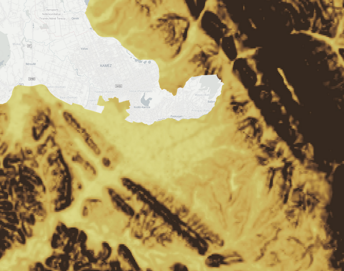
Environment / Geospatial / Computed
Terrain Ruggedness
Geospatially derived terrain ruggedness is a measure of the roughness or ruggedness of a terrain, calculated from digital elevation data. It is commonly used in environmental and ecological studies to characterize the physical characteristics of a landscape and to understand the effects of terrain on the distribution and movement of animals, plants, and other organisms. It is calculated by first dividing the terrain into a grid of cells, and then using algorithms to calculate the slope and roughness of each cell. The slope is calculated as the difference in elevation between the cell and its neighbors, and the roughness is calculated as the standard deviation of the elevations within the cell. The Index is then calculated as the average slope and roughness of all the cells in the grid. In general, however, the index is a useful tool for quantifying and comparing the ruggedness of different landscapes and for understanding the ecological and environmental impacts of terrain on the distribution and behavior of organisms.
Metadata
Number
37
Availability
Available Now
Source
Multi-Error-Removed Improved Terrain (MERIT) DEM 3 arc-seconds (~90 m)
Original Source
National Aeronautics and Space Administration (NASA) SRTM3 version 2.1, the Japan Aerospace Exploration Agency (JAXA) AW3D global high resolution 3D map (version 1) and the Viewfinder Panorama’s DEM
Resolution
90m
Cadence
Solo
Delivery Time
Hours
Price
€100
Coverage
Global
Data Range
2/11/2000 - 2/22/2000
Commercial Use
Permitted - https://gee-community-catalog.org/projects/geomorpho90/
Sample Asset
/dataset-samples/terrain-ruggedness.png
Created
12/27/2022 15:11
GIZ
Terrain Ruggedness
EECU Seconds
11
Graph Data
No graph data listed.
Research
https://www.nature.com/articles/s41597-020-0479-6
Local Sample
Screenshot from 2022-12-27 15-20-04.png