Climate / Environment
World Protected Areas Map
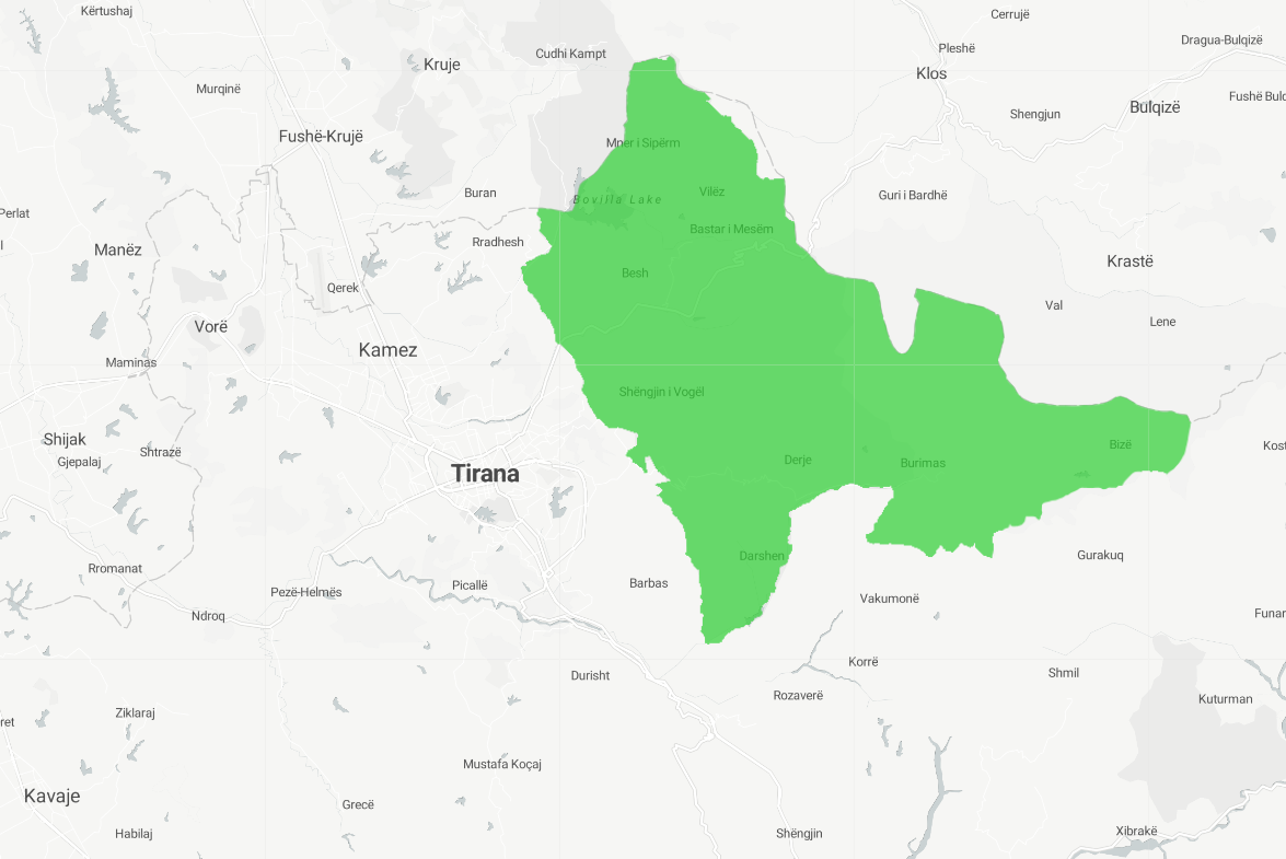
UNEP-derived World Protected Areas Map. The UNEP-derived World Protected Areas Map is a map created by the United Nations Environment Programme (UNEP) that shows the location and extent of protected areas around the world. Protected areas are areas of land or water that are designated for the conservation of natural resources, such as forests, wetlands, or wildlife habitats. The UNEP World Protected Areas Map is based on data obtained from various sources, including national and international conservation organizations, and provides a comprehensive overview of the global network of protected areas. This map can be useful for a variety of purposes, such as for monitoring and managing protected areas, for studying the distribution and characteristics of different types of ecosystems, or for supporting the planning and management of land and water resources.
Metadata
Number
39
Availability
Available Now
Source
UNEP
Original Source
UNEP
Resolution
1m
Cadence
Monthly
Delivery Time
Hours
Price
€300
Coverage
Global
Data Range
7/30/2022 - 7/30/2022
Commercial Use
Pay-as-you-go or Subscription - https://www.ibat-alliance.org/subscriptions
Sample Asset
/dataset-samples/world-protected-areas-map.png
Created
9/22/2022 09:50
GIZ
World Protected Areas Map
EECU Seconds
20
Graph Data
No graph data listed.
Research
No research note listed.
Local Sample
protarea.png